|

|
Certaines informations ont été traduites automatiquement.
| RUE COLLECTRICE | RUE TRANSVERSALE | VOLUME DE TRAFIC | ANNÉE | Distance |
|---|---|---|---|---|
| Keys Rd | Keys Ferry Rd, W | 8 953 | 2018 | 0,69 km |
| Keys Rd | S Ola Rd, E | 14 573 | 2022 | 0,97 km |
| Keys Ferry Rd | Patriot Cir, W | 5 346 | 2022 | 2,87 km |
| Keys Road | Upchurch Rd, W | 18 125 | 2020 | 2,93 km |
| Keys Rd | Upchurch Rd, W | 17 554 | 2022 | 2,93 km |
| Keys Ferry Rd | Mackey Rd, W | 5 852 | 2022 | 3,22 km |
| Keys Ferry Road | Mackey Rd, W | 5 956 | 2020 | 3,22 km |
| N Ola Rd | Holly Hills Ln, N | 1 381 | 2022 | 3,44 km |
| North Ola Road | Honey Creek Rd, N | 1 933 | 2022 | 3,88 km |
| Snapping Shoals Rd | River Rd, W | 2 415 | 2022 | 4,29 km |
| Numéro de parcelle | 0155-01-001-000 | Évaluation des aménagements | 0 € |
| Évaluation du terrain | 159 070 € | Évaluation totale | 159 070 € |
 20230809_121952
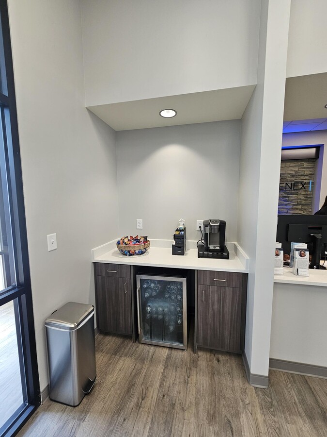
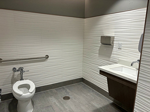
 Interior Photo
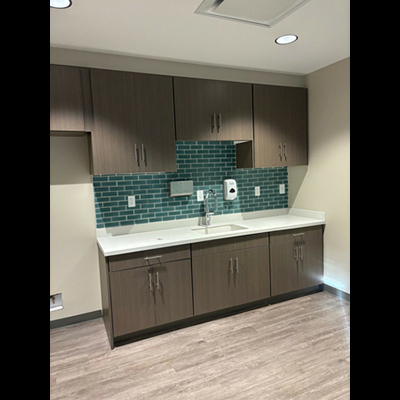
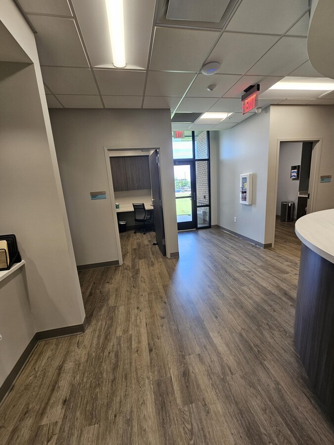
 Interior Photo
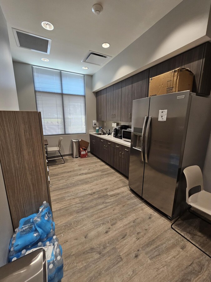
 Interior Photo
 20230809_122219
 20230809_122253
 20230809_122306
 20230809_122328
 20230809_122334
 20230809_122348
 20230809_122411
 20230809_122416
 20230809_122536
 20230809_122618
 20230809_122638
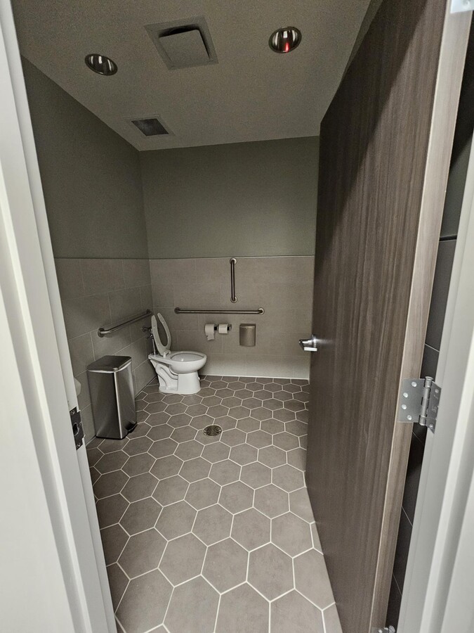
 Interior Photo
 Interior Photo
 Interior Photo
Le service LoopNet et les informations qu’il contient, bien que réputés exacts, sont fournis « en l’état ». LoopNet décline toute responsabilité, garantie expresse ou implicite de quelque nature que ce soit.